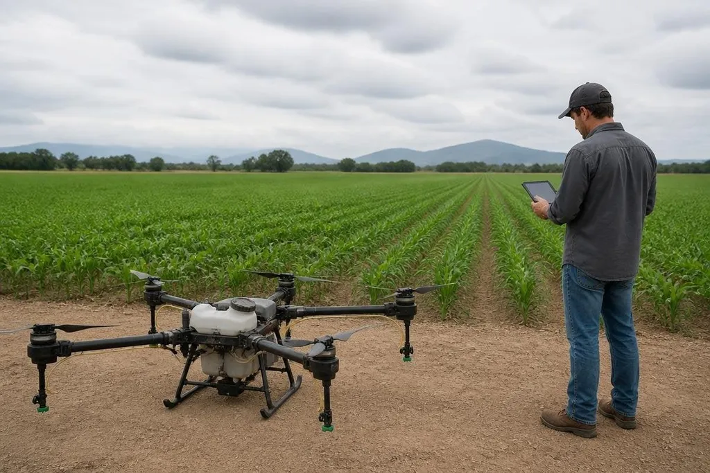
A farming drone can scan a field, carry a spray tank, and follow a planned flight path without a pilot steering every turn. The hard part is turning that flight into a farm decision that saves water, chemical, labor, or crop loss.
The global race matters because drone makers are working on the same chain: collect field data, find a problem, and act on it. The winners will need reliable results across real fields, changing weather, and different crops.
Quick read
- Cameras find crop stress before a worker can check every row.
- Spray drones need accurate maps, stable flight, and safe chemical control.
- A useful fleet needs records that link each flight to a field result.
What better farming drones need to do
A survey drone starts with an RGB camera, the same basic type used in ordinary photography. It can show gaps in planting, standing water, storm damage, or areas where weeds are spreading.
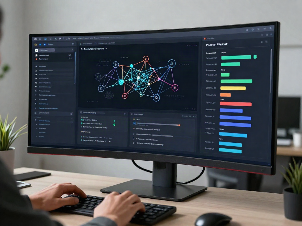
A multispectral camera reads bands of light that people cannot see. Software can compare those readings with field maps and mark areas for inspection. The result is a task list for a farmer or agronomist, rather than a folder of aerial images that nobody checks.
Thermal cameras add another layer. They can show temperature differences across a field, which may point to blocked irrigation, plant stress, or a fault in farm equipment. Those readings still need ground checks because heat can have more than one cause.
Spray drones have a different job. They need a tank, pumps, nozzles, flight control, and a plan that keeps the spray inside the target area.
One that flies well in an empty test site may still struggle near trees, power lines, slopes, or people.
That is why positioning matters. Global navigation satellite systems give the drone a location, while real-time kinematic positioning, or RTK, can improve that location by using correction data. The drone still needs a safe route and a clear rule for what happens when its signal drops.
The data chain decides the value
A field map has value only when it changes a farm task. A drone might mark a dry patch, after which a worker checks an irrigation line. The farm then needs to record the repair and compare later crop growth with the original map.
This record also helps spot weak results. If a drone reports crop stress in the same area after irrigation was fixed, the camera, map, or diagnosis needs another check. Farming systems need that feedback before a fleet runs across many fields.
For a farm buyer, reports from Robot24 can tie a drone claim to the crop, sensor setup, flight date, and measured result. Those details matter when software turns field images into maps and task orders.
The race also includes software. A useful system should let a farm set a boundary, mark no-fly areas, assign a task, and review the flight record. It should keep the original images and the processed map so a technician can check how a result was produced.
Where the machines still fall short
Battery weight limits flight time and payload at the same time. A larger tank adds spray capacity, yet it also asks the motors to lift more mass. A survey drone can often carry lighter sensors than a spray drone, so the two jobs need different aircraft designs.
Weather adds another limit. Wind changes the flight path and can move spray away from its target. Rain can block a survey, damage equipment, or change the field conditions that the drone was meant to measure.
Farm work also has uneven ground, dust, mud, and poor network coverage. A drone needs a recovery plan for each case: return to its launch point, land at a safe area, or wait for a signal. A polished flight video does not answer those questions.
I'd judge a farming drone by its field record before its camera count. The useful measure is the chain linking an image with a farm decision and a measured crop result, with enough records to check each step.
A buying checklist for farm operators
Use these questions before choosing a drone system:
- Task first: Decide if the job is mapping, spraying, crop counting, or equipment checks.
- Sensor proof: Ask what each sensor can detect and how the result gets checked on the ground.
- Flight safety: Confirm the plan for signal loss, low battery, wind, and obstacles.
- Chemical control: Check tank size, nozzle control, cleaning steps, and local spray rules.
- Data access: Make sure the farm can export images, maps, and flight records.
- Repair path: Ask who replaces motors, batteries, pumps, and damaged airframes.
The next useful proof point is a logged field result that links a drone flight to a measured change in water use, spray use, labor time, or crop output. Until makers publish that chain for more than a single test field, better farming drones remain a systems problem waiting for better evidence.